NOAH
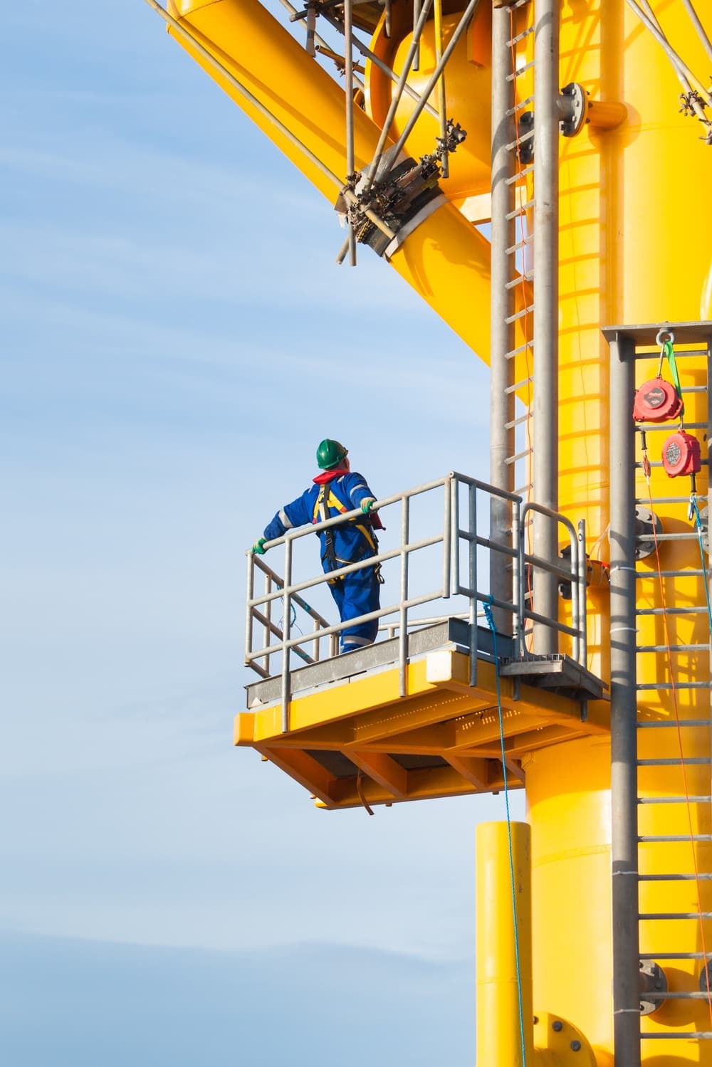
Located 3 nautical miles off the coast of Blyth, Northumberland, the National Offshore Anemometry Hub (NOAH), with a 104m mast tip, provides wind resource and environmental data to validate new remote sensing techniques and floating LiDAR systems.
As wind farms continue to be deployed further offshore and into deeper waters with increasingly challenging conditions, our offshore anemometry platform enables a representative Round 3 environment.
As part of our resource assessment facilities, this platforms enables clients to test, calibrate and validate their technologies to prove reliability, data availability and performance, as well as evaluate environmental conditions, observe marine conditions and collect wildlife data for research and development (R&D) purposes.

TESTING SERVICES AT NOAH INCLUDE:
Hosting floating lidar trials
Data licensing for wind and ocean conditions
Consenting and permitting
Project support
Collaborative R&D projects
SME product development support
Hosting instrumentation and monitoring of new equipment
Providing third-party validation reports
CONTACT OUR TEAM


